
How to Search Hancock County Property Records
Begin with whatever detail you already have. An address fits the West Virginia Property Assessment search. An owner name turns up parcels in the roll. A full root parcel ID gives the cleanest match across assessment, GIS and tax ticket data. Once the parcel is pinned down, move to the County Clerk's deed index for the latest conveyance and the Sheriff's Tax Office for bill status. It is a route through several custodians, not one database.
The same parcel key ties the systems together. Their records still prove different things. The assessor shows the administrative owner of record and value fields. A deed documents the recorded transfer, a ticket shows the tax account's status, and a parcel viewer adds map context. When a legal detail matters, read the actual instrument or ask the custodian.
- Search the assessor by street, owner or parcel ID and save the full parcel key.
- Open the GIS link to locate the mapped parcel and review its reference layers.
- Use the owner or deed book/page clue in the County Clerk’s land-record index.
- Search the sheriff portal by taxpayer, account, year/ticket or parcel components.
- Use the courthouse counter, microfilm or a specific records request when an item is not online.
Offices Behind Hancock County Property Records
Three local custodians keep Hancock County property records. The County Clerk records land instruments and runs a public research counter. The Assessor maintains the property roll and appraisal fields. The Sheriff's Tax Office searches tickets and payments. The assessor and sheriff work from parcel identifiers, while the clerk's deed record supplies the written conveyance and legal description.
Hancock County Clerk
Courthouse, New Cumberland, WV 26047
PO Box 367
304-564-3311 ext. 266
Hancock County Assessor
102 N Court St
New Cumberland, WV 26047
304-564-3311 ext. 256 / 293
Hancock Sheriff’s Tax Office
102 N Court St, PO Box 458
New Cumberland, WV 26047
304-564-3311
Hancock County Clerk Index and Images
The County Clerk's CCLIX land-record system splits its coverage by era. Deed indexing reaches back to 1979. Mortgage indexing goes to 1971. Most online images start in January 2004. Older material waits at the office or on microfilm. The clerk's public page lists deeds, liens, mortgages, powers of attorney, wills, corporations, assignments, releases, plats and other filings.
Counter inspection of indices and documents is free. Online image access needs an assigned account and password, special software and access fees. A deed copy runs $1.50 for the first two pages and $1.00 for each additional page per document. Call ahead to confirm fees and payment. Ordinary county requests use cash or money order, not a personal check.
Read the Hancock County Clerk's Legal Records access page for current CCLIX coverage.
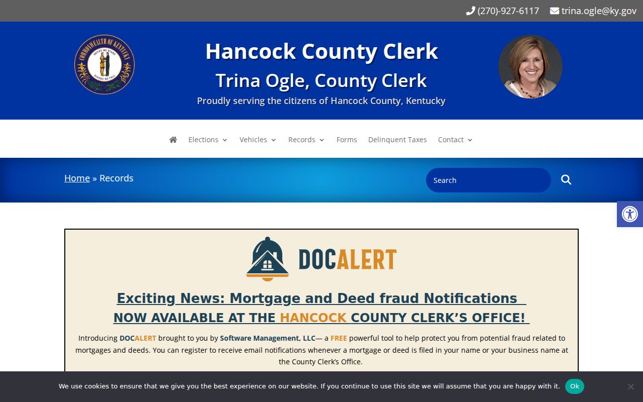
That cutoff is why an older index hit often means a follow-up at the clerk's office or on microfilm.
Types of Hancock County Property Records
Questions about ownership, value, taxes, mapped parcels and recorded interests all live in Hancock County property records. The keeper and the access route change with the record type. One result can point to the next source. It never replaces the underlying deed, ticket or plat.
| Record Type | What It Documents | Kept By | Access |
|---|---|---|---|
| Deeds and land instruments | Transfers, mortgages, liens, releases, wills and plats. | Hancock County Clerk | Free office inspection; online account and image fees. |
| Assessment roll | Owner, parcel, land/building appraisal and tax classification. | Hancock Assessor / WV search | Online search, CSV and viewer links. |
| Tax tickets | Taxpayer account, year/ticket and payment status. | Sheriff’s Tax Office | Online lookup and payment. |
| Parcel maps | Reference polygons, parcel keys and map context. | WV Property Viewer / GIS | Free viewer and state map products. |
| Tax and sheriff sales | Sale notices, deposits and annual PDF records. | Hancock County Sheriff | Current page and archived PDFs. |
Deeds and liens call for Hancock County deed records. Assessment and ticket details follow the property tax records route. City permits and zoning files sit in a separate municipal layer. Hancock County's cities publish no static search portals. Request those records from the city custodian.
Hancock County Assessor Search Fields
The West Virginia Property Assessment search is the broad entry point for address, owner or parcel lookups. Modes include county, district, Full Parcel ID, Owner Name, Map Number, Property Class, Street Name, Parcel, Tax Class, Sub-Parcel and Land Use. Deeper filters reach appraisal and sale details. Match the right property by its row fields. Only then follow the map or deed reference.
| Field group | Examples | Research use |
|---|---|---|
| Identity | Owner, street, root parcel, district/map/parcel/subparcel. | Find one parcel and keep its key. |
| Land and value | Land, building, total appraisal, calculated and deeded acres. | Read assessment components. |
| Sale | Sale dates and minimum/maximum price. | Filter transaction history, not a value estimate. |
| Advanced | Mailing address, legal description, deed book/page, building fields and flood hazard. | Resolve address and parcel mismatches. |
A result can display a legal description, GIS parcel ID, CSV output and a link to the Property Viewer. The sample inventory lists Current Owner, Property Address, map keys, GIS Map, Flood Tool, deeded acres, class fields and separate appraisal amounts. It is a field list, not a parcel example. Run a live Hancock query for current values. The state's own page remains the official source. Open the state assessment search used for Hancock County properties.
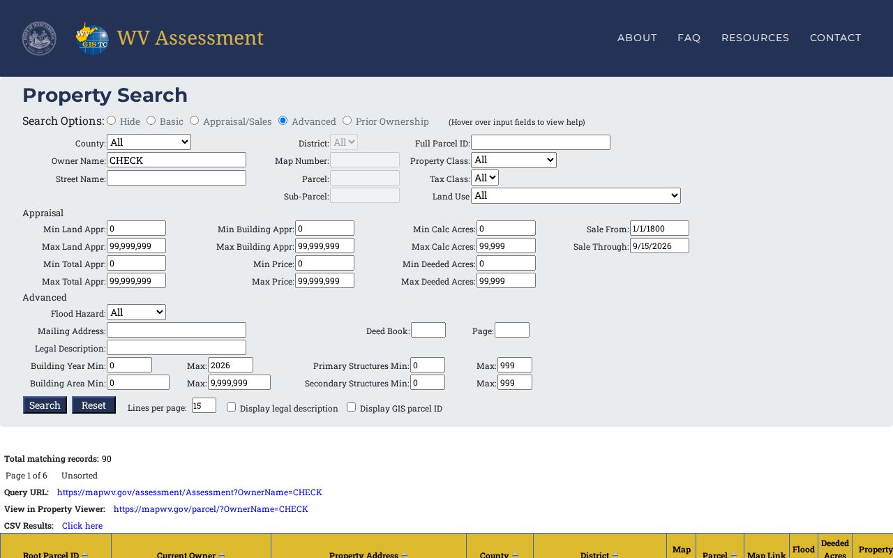
Save the root ID and query URL for repeats.
Hancock County Assessment and Value Dates
West Virginia law sets the assessment date each year on July 1. State Code §11-1A-3 sets the rules for value. Assessed value equals 60% of true and actual value. Statutory exceptions apply. Reassessment maintenance follows repeating three-year cycles under §11-1C-9. So the assessor's land, building and total figures are tax-record values. Treat them as appraisal data, not a forecast of sale proceeds.
Errors happen. A wrong name, a flawed description or a misstated valuation can be corrected. Start by reviewing the notice and land book, then contact the Assessor. The annual Board of Equalization and Review handles disputes. The law requires notice for any increase and permits corrections of names, descriptions and valuations. The county publishes no current local form. The filing deadline comes from the notice itself. The Hancock County Assessor's official page lists contact details for questions about a roll entry.
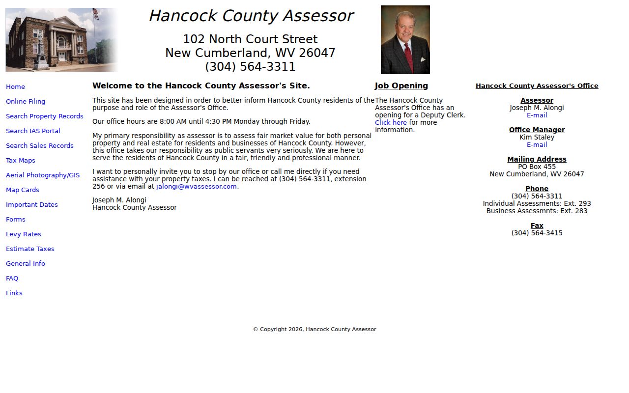
The assessor can confirm current notice and appeal dates.
Hancock County Sheriff Tax Tickets
The Sheriff's Tax Office runs its own online ticket search and payment portal. Lookups work by taxpayer name or account number. Tax year, ticket or suffix, district, map, parcel and subparcel also work as search fields. Filters narrow results by tax year, real or personal property, and paid or unpaid status. Those fields answer whether a ticket is due or paid. They do not establish ownership.
The Sheriff's sales page posts current ready-to-sell and sold files. Annual PDFs run from 2014 through 2025. No pending sales appear at present. Deposits run in tiers. Appraisals up to $10,000 require $2,000. Above $10,000 through $200,000, the deposit is $5,000. Above that, it is $10,000. Posted terms require deposits by 3 p.m. on sale day. Buyers may also owe taxes through confirmation. Always verify any live notice and the final court status.
Hancock County GIS Parcel Map Limits
The assessment result links out to the West Virginia Property Viewer and a Flood Tool. State map products come as print-ready images or GIS geodatabase formats, updated yearly with the State Tax Office. A recent split or newly created line waits on county submission and a state update. The viewer works well for identifying a location and its parcel key. Its lines are reference graphics, not a survey.
Parcel, district, map, subparcel and root ID fields tie the map to the tax roll and the sheriff ticket. Recorded plats stay in the clerk land records. Lot-and-block descriptions depend on a recorded subdivision plat. Metes-and-bounds descriptions follow written calls, bearings and distances. For a legal boundary, ask a registered land surveyor.
Hancock County’s Three Incorporated Places
Hancock County's official overview names three incorporated communities: Chester, New Cumberland and Weirton. Everything else counts as unincorporated. Property custody stays at the county level either way. A Weirton or Chester address still runs through the County Assessor, County Clerk, Sheriff's Tax Office and statewide GIS. A postal city or ZIP proves nothing about the municipal line. Compare the situs address, the assessor district or corporation field, the GIS context and the deed description.
Weirton, the largest place, stretches along a long Ohio River corridor. Chester sits at the county's northern end. New Cumberland serves as the county seat and courthouse counter location. Municipal permits or zoning can add a second layer of rules, though the cities publish no static permit or zoning lookup portals. For a non-posted file, send a specific request to the city custodian. The County's official overview lists its incorporated and unincorporated communities.
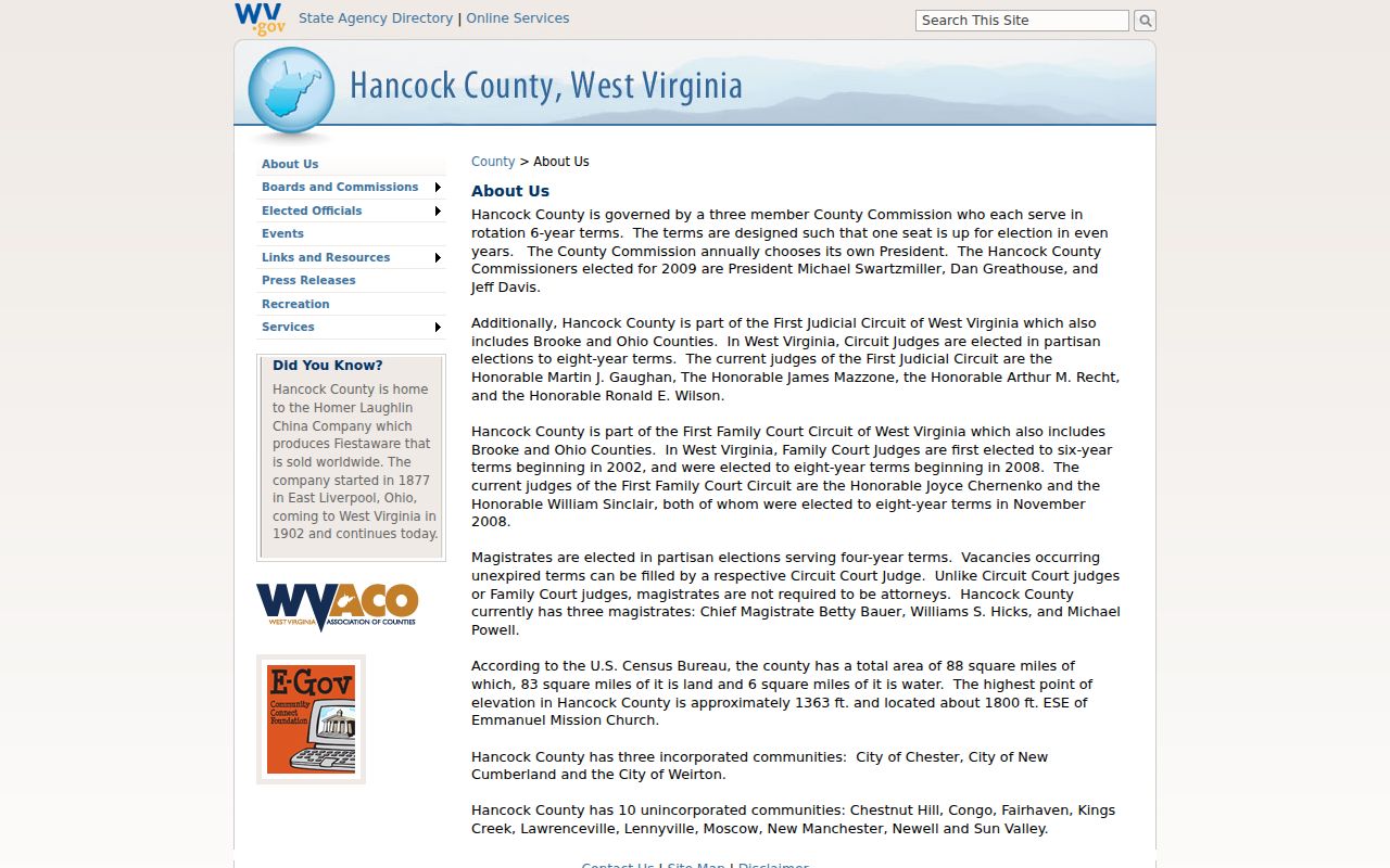
Use the city label to orient a search, then confirm the parcel through county record systems.
What Hancock County Records Can Confirm
Public records answer many questions. They can show a parcel's assessor owner name. They can also show a recorded deed, a tax ticket, a map outline or a filed lien. They cannot guarantee that every interest was recorded. Nor can they promise that a recent deed has reached the assessment roll. A map line may not be legally correct. An assessed figure is not a sale value. Read the actual instrument or check with the office that holds it.
Lawful use. Hancock County property records support property research, due diligence and civic transparency. They do not replace a title search or survey. Never use an owner’s name or address to stalk, threaten or harass anyone.
Hancock County’s Older Land Books
The clerk reports county records beginning in the early 1850s. That run reaches far older than CCLIX's 1979 deed index. Its image coverage generally starts in 2004. To trace an older owner chain, start with the current assessor owner and parcel description. Find the latest deed, then follow each grantor back as a prior grantee. When the online index ends, ask the clerk. The clerk can pull the deed book or microfilm reel covering that date.
Hancock's narrow shape, river corridor and neighbors Ohio and Pennsylvania matter when reading old descriptions. A deed may name a stream, road, farm or tract instead of a modern street. Search surname variants and entity or estate names. Then use the legal description and map key. That confirms you are following the same land. FamilySearch and the West Virginia archives are possible leads for digitized runs.
Hancock County Filing Alerts and Requests
Hancock County's clerk offers a tool called Doc Alert. It sends an email notice whenever a deed or mortgage is filed under a name you choose, whether a person or a business. Think of it as a watch service. It is a monitoring service only. When an alert arrives, read the instrument itself. Check the parcel description too. To verify a filing or ask about a copy fee, the clerk's official page and phone are the safer route.
Some records never appear online. West Virginia's Freedom of Information Act covers those gaps. Send a reasonably specific written request to the agency custodian you believe holds the item. The office must respond as soon as practicable, and no more than five days, excluding weekends and legal holidays. A public body may charge actual reproduction costs, but never search or retrieval labor. Name the likely custodian, whether the clerk, assessor, sheriff, court or city office, so the request lands in the right hands.
West Virginia Code chapter 29B sets the public-record request framework used by Hancock custodians, so review the state FOIA text before sending a focused record request.
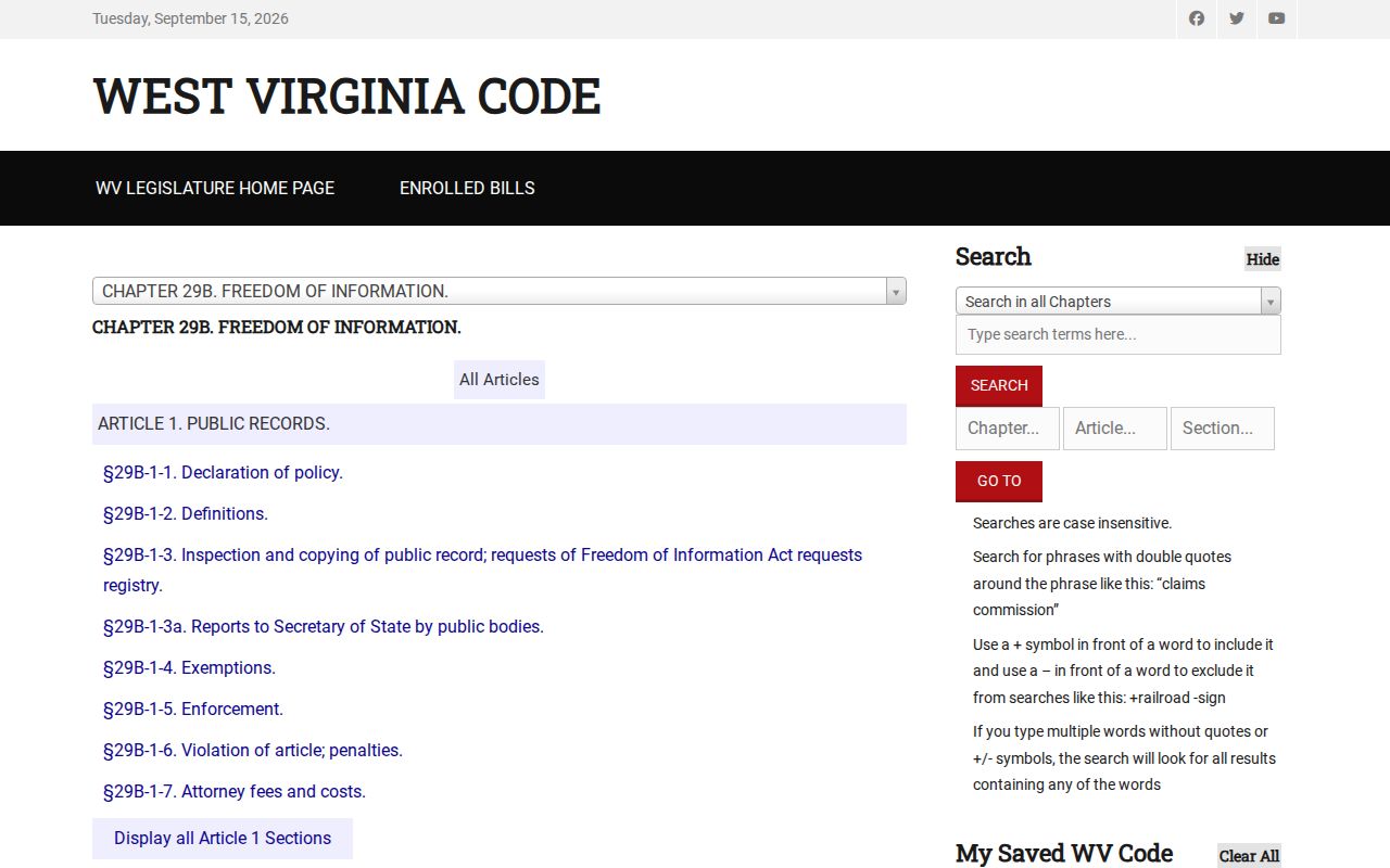
Not every file shows up in the online search. Naming the right custodian and describing the record clearly helps a request reach the person who can actually pull it.
Choose the Search Route That Fits Your Clue
An address is one door into the county record, not the only one. It works when you know where a building sits. If the street spelling is uncertain, try a map or the parcel number first. Owner-name searches work differently. The assessor's name tool can return several candidates for one person or business. Compare addresses and districts before picking a result. A deed search suits transfers and legal descriptions. It is weaker for a current tax balance.
When the assessor returns a clean result, hold onto three things: the full parcel identifier, the owner name and the situs address. That bundle travels well between systems. The assessor result carries the appraisal and the GIS map link. The Sheriff tax portal wants the district, map, parcel and subparcel combination for a ticket lookup. The clerk index answers something else. It tells you which instrument was recorded, under which names, and whether an online image exists for that date.
These sources share no universal search key. An assessor parcel ID is not a deed book and page. A tax ticket is not a recorded deed. When a system returns nothing, check the field format, parcel split history, owner spelling and record year before concluding the property has no file. For anything a search cannot settle, send the request to the likely custodian rather than a general plea to every office at once.